24th May, 2023 11:00
Books & Works on Paper
Hondius (Jodocus) China
Hondius (Jodocus)
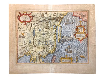
China, English-text edition, one of the new maps added to the 1606 Hondius printing of Gerard Mercator's Atlas, hand-coloured, browned, sheet 445 x 540 mm, Amsterdam, 1636; with another map of China from Thomson's New General Atlas (2)
***One of the first and most influential maps of the region, featuring the Great Wall of China and early information on the northwestern coast of North America. Although Korea is depicted as an island, the accompanying annotation discusses whether it might in reality be connected to the continent.
Do you have an item similar to the item above? If so please click the link below to submit a free online valuation request through our website.


