24th Mar, 2021 11:00
Books & Works on Paper


London Maps.
London Maps.-
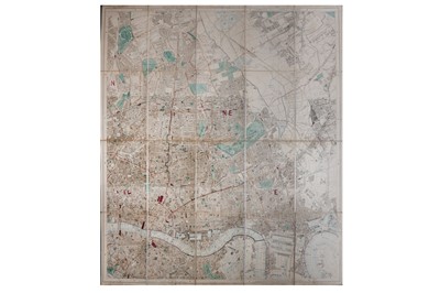
[Reynolds (James)] The Waistcoat Pocket Map of London, Showing all the Railways, Stations & c., hand-coloured engraving, linen-backed, some spotting and chipping to section edges, 420 x 560mm, original cardboard binder with paper label, worn, [1869]; Cary’s Actual Survey of the Country Fifteen Miles Round London, On a Scale of one Inch to a Mile..., engraved map with original hand-colouring, 765 x 885mm., dissected and linen-backed, soiling and chipping, original marbled slipcase with publisher's printed title label and vignette view of Hampton Court, tattered, [Howgego 183], 1786; William Belch's New Map of London, Improved Edition, original hand colouring, 24 inset views of buildings, monuments and docks, 530 x 785mm, dissected and linen-backed, soiling and ink staining, lacking slipcase, [Howgego 256], 1820; with sheets 1-2, 3-4, 13-14 of Stanford’s Library Map of London and its Suburbs (6)
Sold for £350
Includes Buyer's Premium
Do you have an item similar to the item above? If so please click the link below to submit a free online valuation request through our website.

